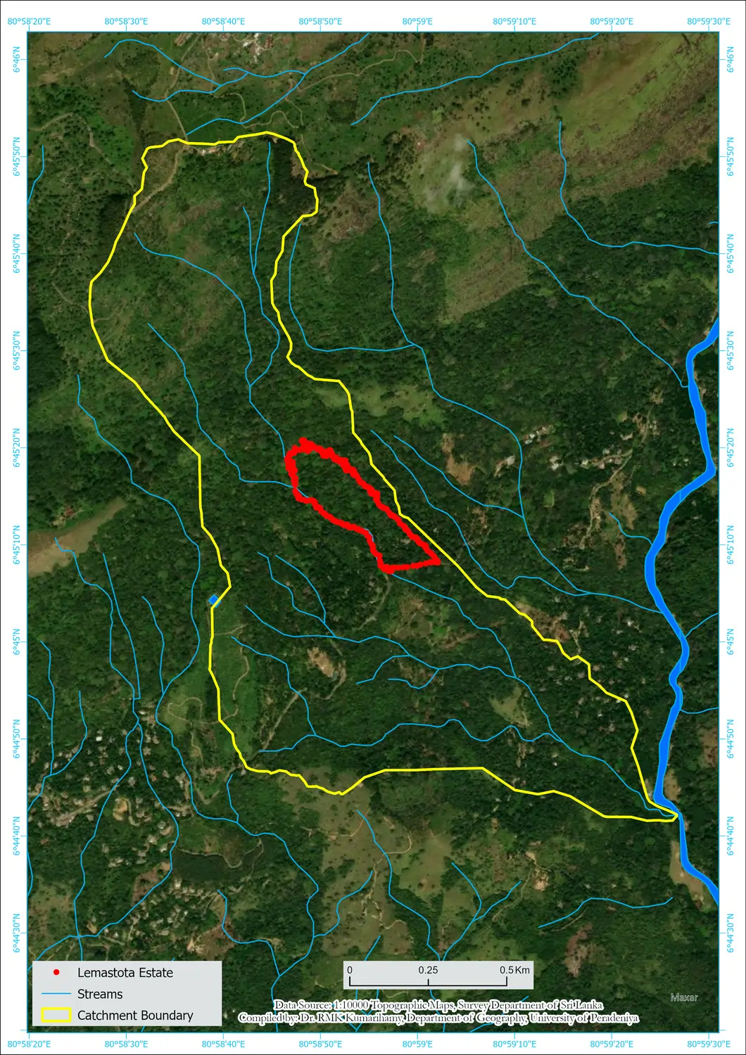

The rehabilitation model (outlined in red on the map, Fig. 1) at Lemastota is located in the Lemastota Oya watershed (outlined in yellow) of the Badulla District. This area is highly vulnerable to landslides owing to the high drainage density of streams flowing down these steep mountains. Twenty-one years later, this once unproductive tea land is now a maturing forest that plays a vibrant role in this watershed.
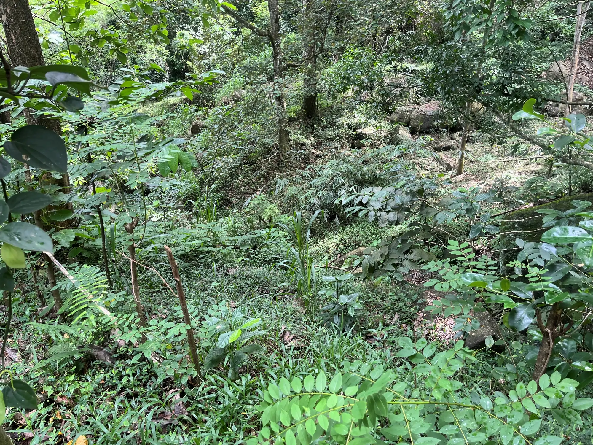
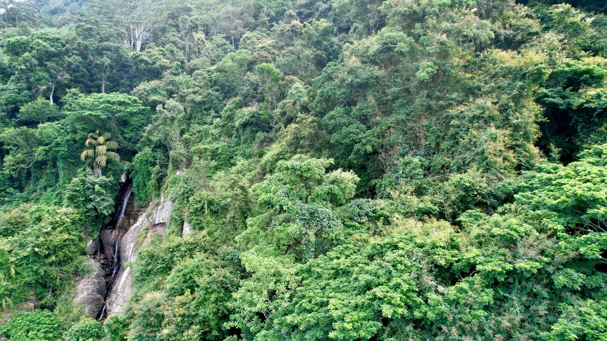
Consequent to past landslides, several areas in the streambed are covered with stones (Fig. 2) and water flows invisibly beneath them. Initially in 2004, stream water flow was ephemeral or only occurred in the rainy season. Now, twenty years later, stream water flow continues for a few months into the dry season, likely attributed to restoration of vegetation in the riparian zone.
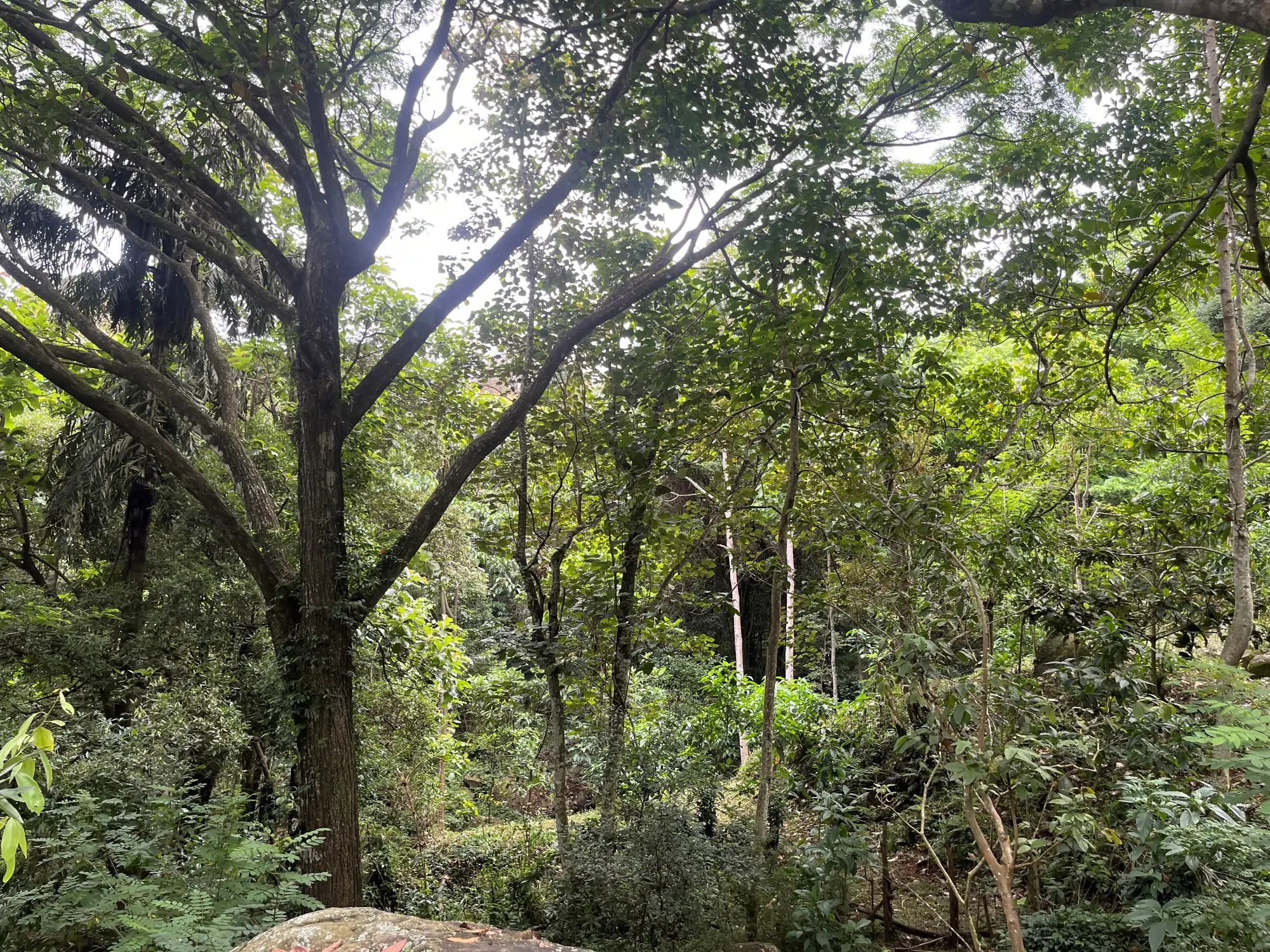
Rehabilitation in the Lemastota model includes restoring riparian vegetation along streams flowing through the land (Fig. 3), establishing a buffer zone bordering the remnant natural forest in the upper reaches (Fig. 4), analog forestry in the mid to lower slopes (Fig. 5) and, regenerative agriculture of vegetables and herbs around the homestead.
Riparian restoration is undertaken from the point at which the stream enters the land to the road below (Fig. 1). The work is challenging since it involves planting three rows of native shrubs, small and big trees in parallel along either side of the stream gully up to a width of ~10m.
Conservation forestry involves planting cloud and submontane forest species in the buffer zone between the model and adjacent natural forest on the upper slopes. The canopy of these new forests established on rock exposed and eroded areas now provide ~ 50% canopy closure and protects the land.
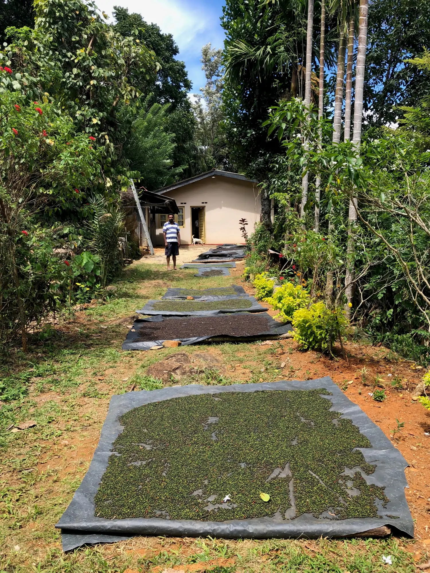
Analog forestry practiced on mid to lower slopes includes high value crops such as black pepper (Fig. 6), cinnamon, clove, macadamia, durian, cocoa, tea, coffee, mandarin, orange, and vanilla in the landscape design. Cultivating fruit and vegetable crops however, is difficult with animal pests, mainly monkeys.
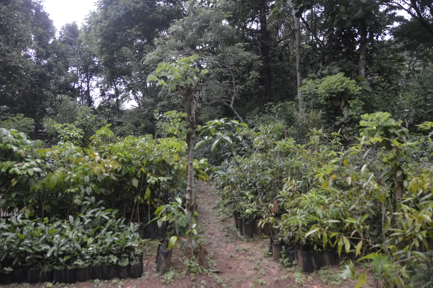
Seeds and saplings collected from nearby remnant forests are propagated at our nursery and provide planting material, (Fig. 7).
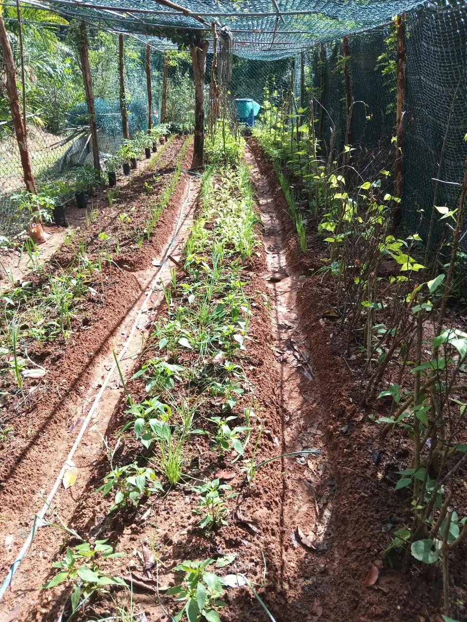
We practice regenerative agriculture near the homestead where diverse vegetables and herbs are cultivated under ‘monkey-proof’ netted conditions, Fig. 8
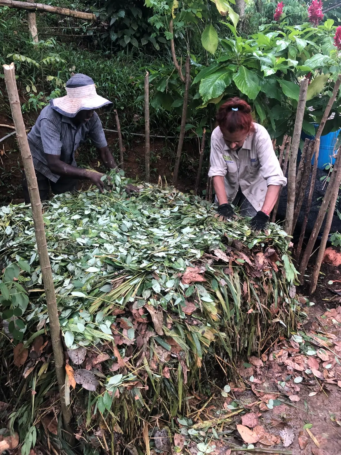
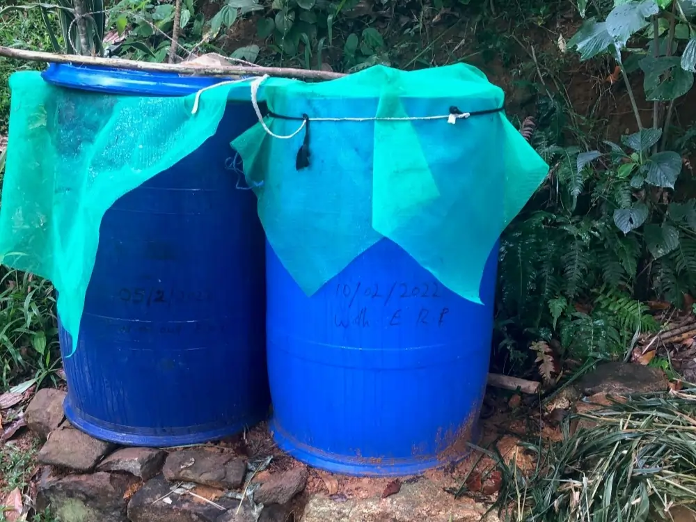
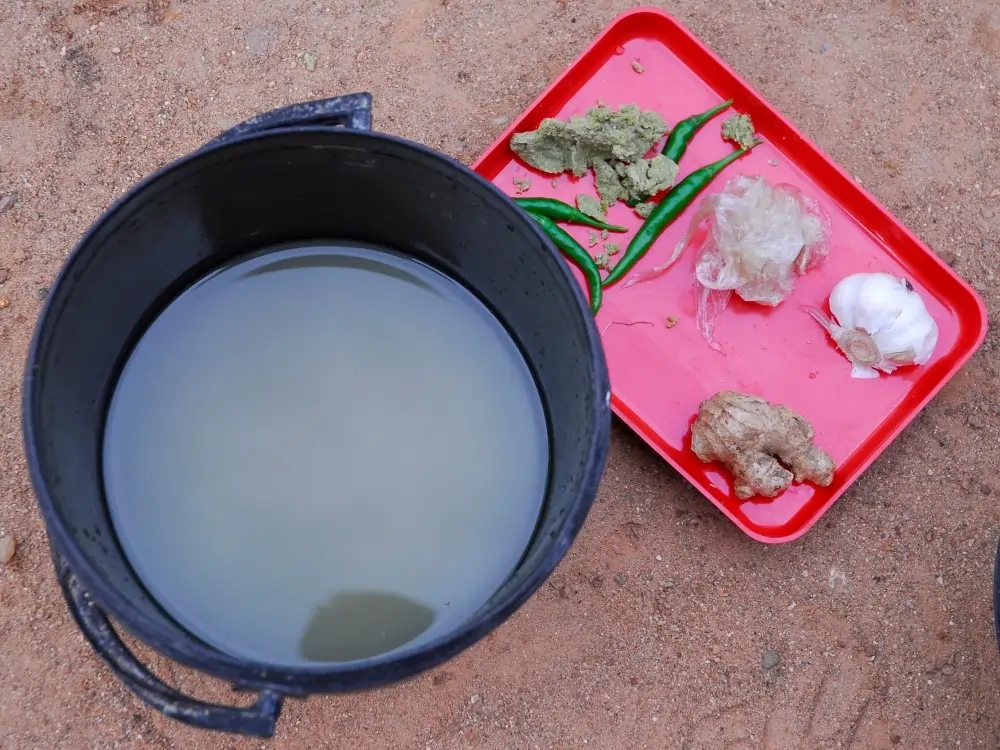
We only use biological inputs such as compost (Fig. 9), liquid fertiliser (Fig. 10), and biological pesticides (Fig. 11) to regenerate soil and increase crop productivity, which are the main aims of regenerative agriculture.
From left to right, Fig. 9. Compost making, Fig. 10. Liquid fertiliser, Fig. 11. Chillie-garlic mixture, a biological pesticide
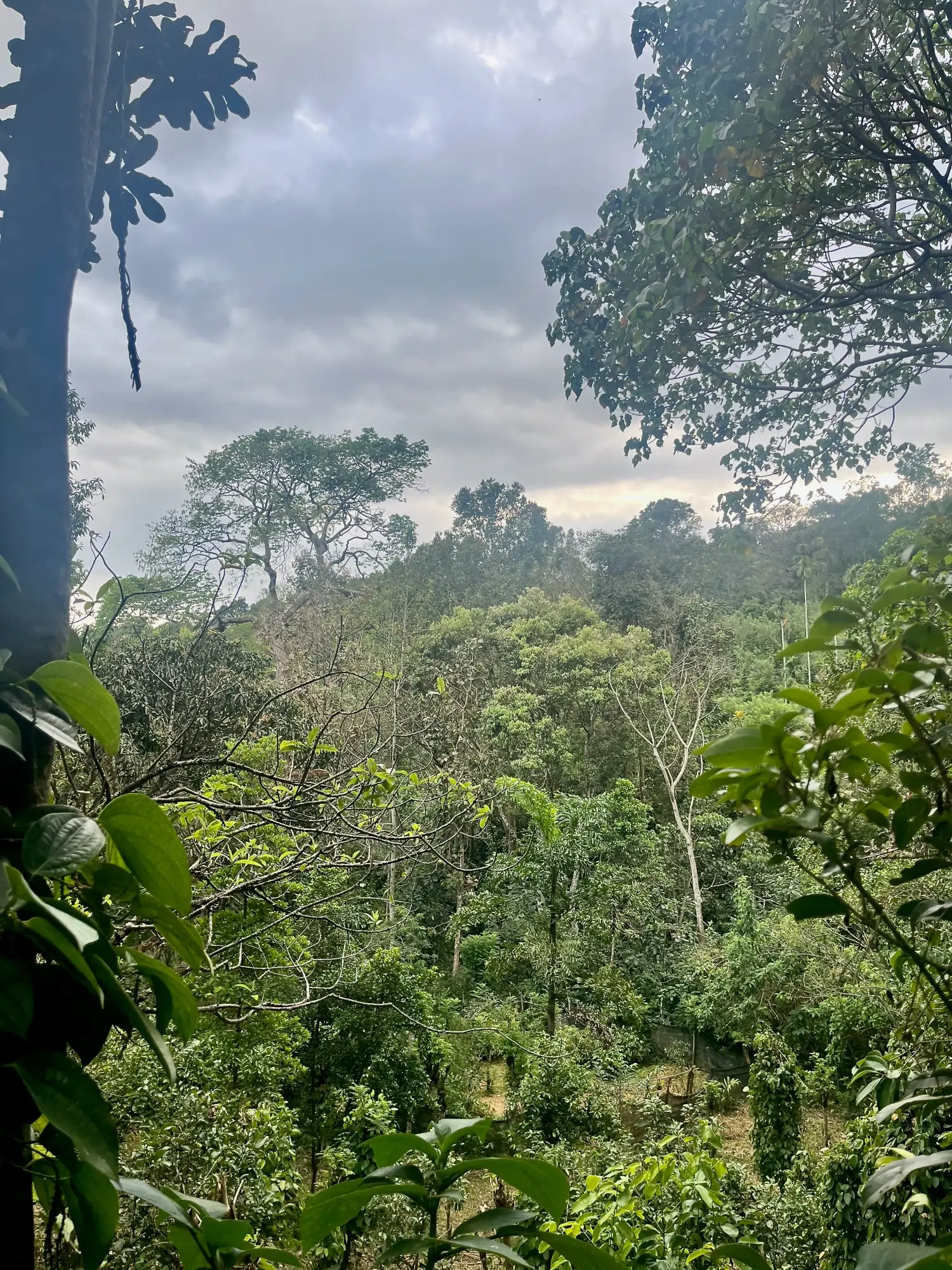
Twenty years after rehabilitation, waterflow in the ephemeral stream continues for months into the dry season, Fig. 12. Increased vegetation cover and leaf litterfall may have led to enhanced infiltration and increased base flows, especially during the dry season.
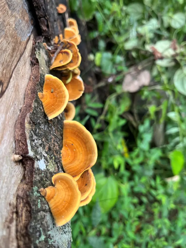
Extensive root mats of diverse, densely planted forest vegetation hold soils at different depths and prevents their movement in this landslide vulnerable area. The use of native forest species in the buffer zone has recreated habitat for biodiversity. Diverse ferns and fungi (Fig. 13) on decaying wood confirm that the forest ecosystem is maturing.
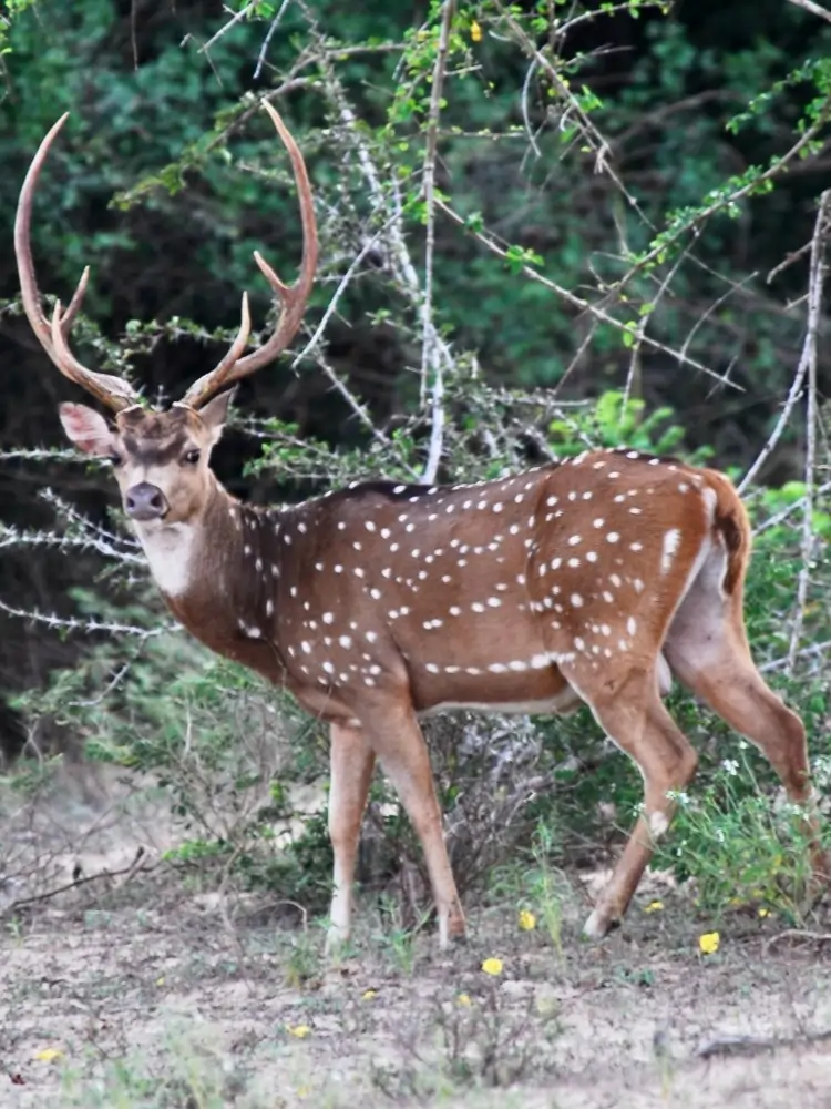
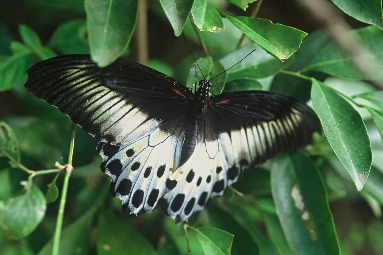
Vegetation density and the dominance of trees has altered the structure of this new forest, and the ecosystem services it provides. For example, habitat has been re-created for several forest animals, including Sri Lanka’s largest deer species, the sambar, Rusa unicolor unicolor (Fig. 15), and the blue mormon butterfly, Papilio polymnestor, (Fig. 16).
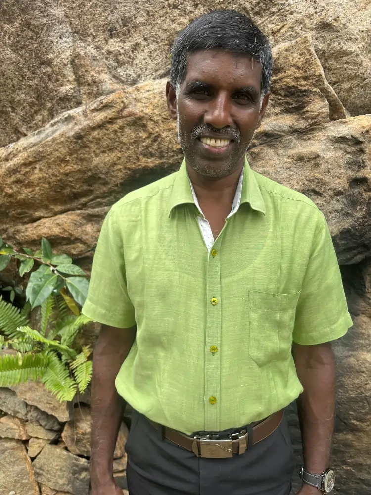
The success of our work in Lemastota is attributed to our staff including Ravichandra Daas and Thiruchelvam who have both worked with NSRC for over 18 years.